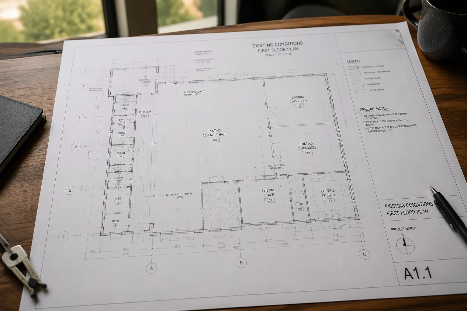
Establishing the Geometric and Parametric Baseline for Renovation Lifecycles
Before any demolition, relocation, or structural intervention can be documented, existing conditions must be permanently anchored within the BIM environment. Treating original elements as distinct phase entities ensures audit readiness, precise volume calculations, and dependable clash avoidance throughout complex historic restorations.
01 Principles of Existing Condition Modeling
Documenting existing architectural conditions demands strict boundary rules. Every pre-existing wall, footing, partition, or decorative casing must carry an initial creation tag tied to the baseline phase. Overwriting existing geometries or merging them prematurely with proposed elements breaks parametric continuity and corrupts downstream quantity takeoff schedules.
Rather than approximating historical geometries with generic standard components, field documentation must isolate non-standard structural deviations. Irregular plumb lines, varied wall thicknesses, and settled floor planes must be captured as discrete building objects so that future demolition or selective retention calculations remain grounded in real site data.
Immutable Baseline Protocol
Never delete an existing element when proposing modifications. Elements designated for removal must retain their Phase Created parameter set to Existing, while receiving a discrete Phase Removed assignment. This preserves historical continuity across all viewport overlays.
Prerequisites for Baseline Verification
- Registered point cloud scans referenced to global project survey coordinates.
- All surveyed elements assigned Phase Created = Phase 00 (Existing).
- Demolition and retention flags isolated into dedicated schedule parameters.
- Volumetric tolerance checks verified against on-site probe measurements.
04 Frequently Asked Questions
Need Guidance on Large-Scale Scan-to-BIM Phasing?
Connect with our technical advisory group to audit project phasing schemas, validate classification parameters, and eliminate demolition calculation discrepancies.
05 Related Documentation
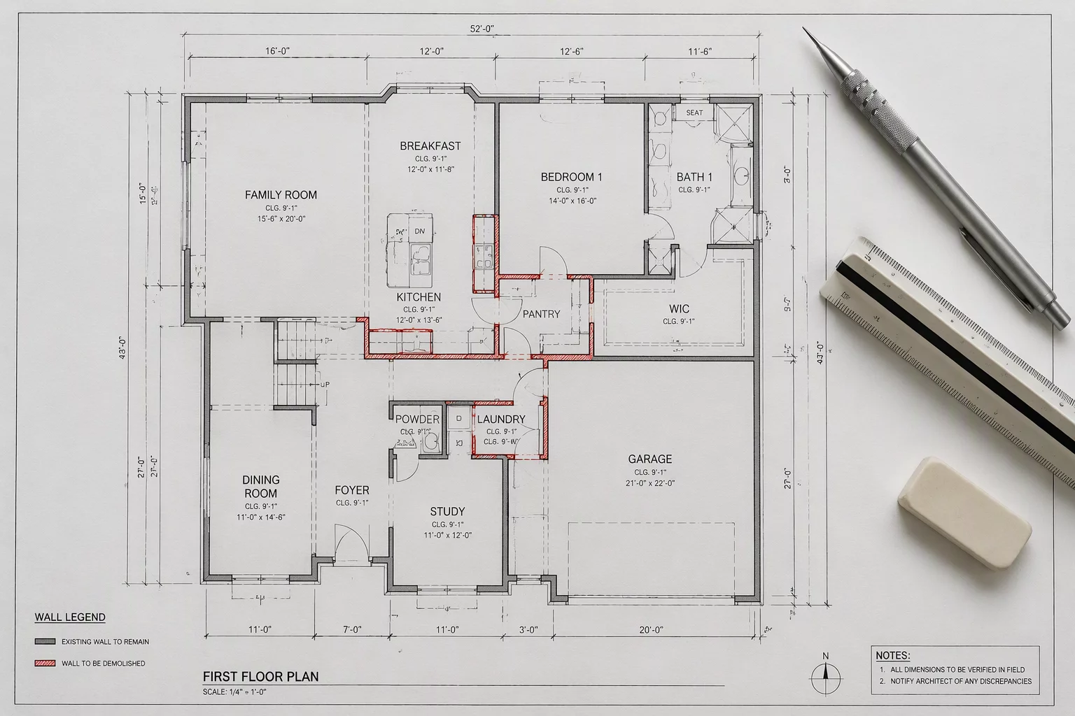
Documenting Demolition vs Removal
Differentiating between destroyed building fabric and preserved reusable components within BIM phasing schedules.

Managing Temporary Project Structures
Protocol for modeling shoring, scaffolding, and interim enclosures across active multi-stage renovation timelines.